Laurel Heights
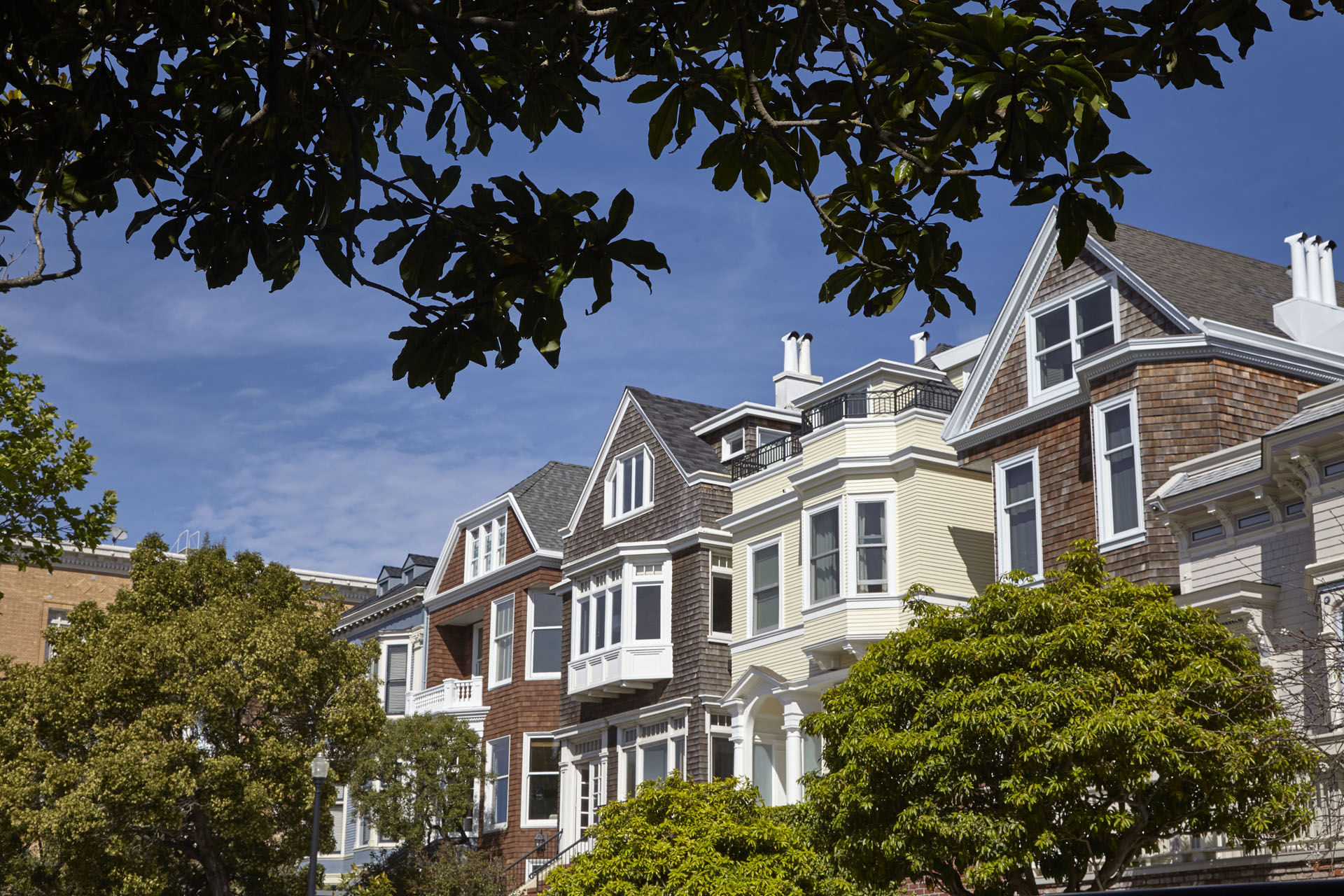
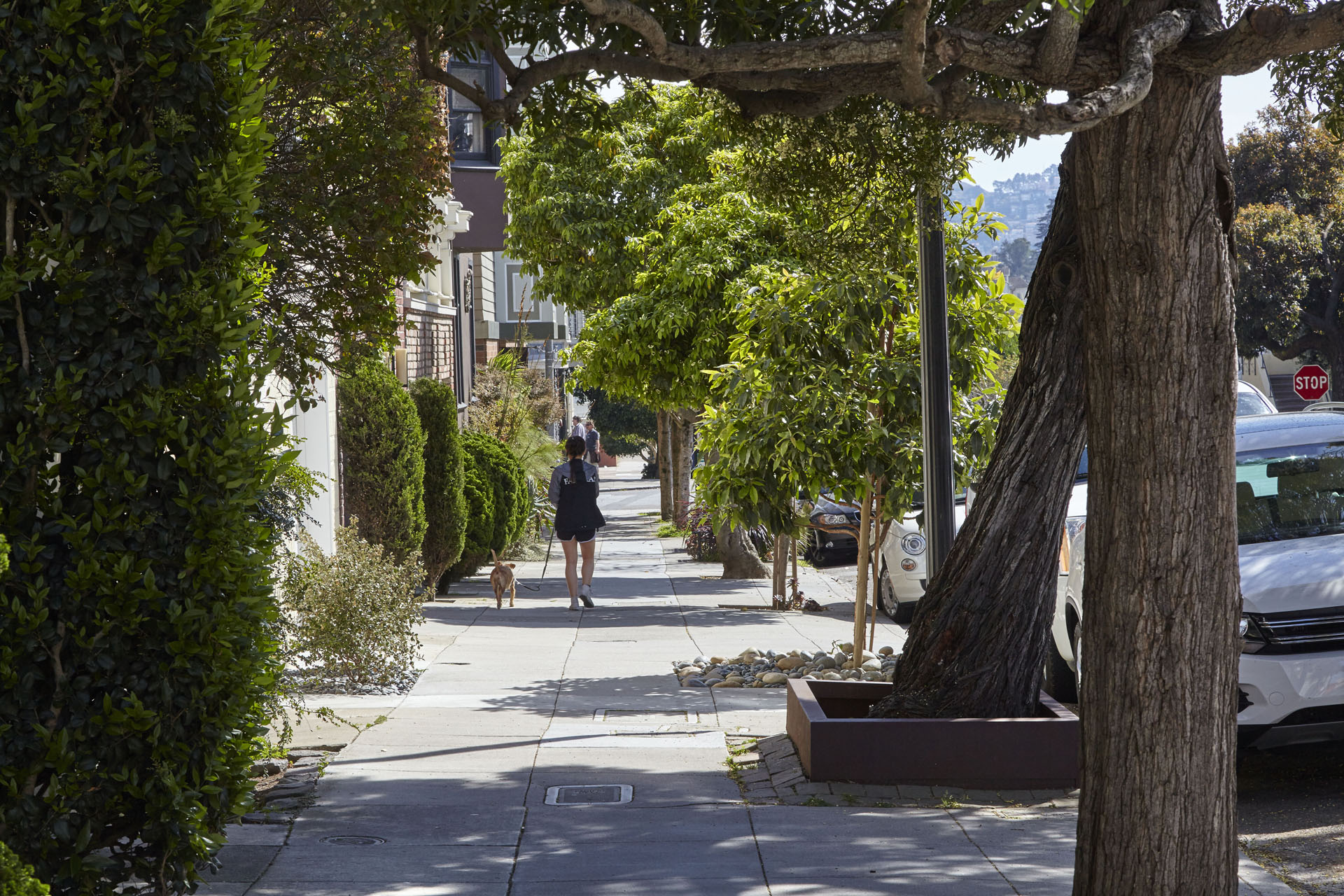
Laurel Heights is a quiet, refined neighborhood nestled at the foot of the Presidio. Reminiscent of elegant neighbor Pacific Heights, it boasts an abundance of Victorian homes and a family-oriented, suburban feel in the middle of San Francisco.
This pocket neighborhood has an outsized healthcare and education presence – both the UCSF Laurel Heights Campus and California Pacific Medical Center call Laurel Heights home, and the University of San Francisco is blocks away. Health benefits extend to the Presidio’s plentiful green space, well-maintained Laurel Hill Playground and Tennis Court, and the JCCSF pool.
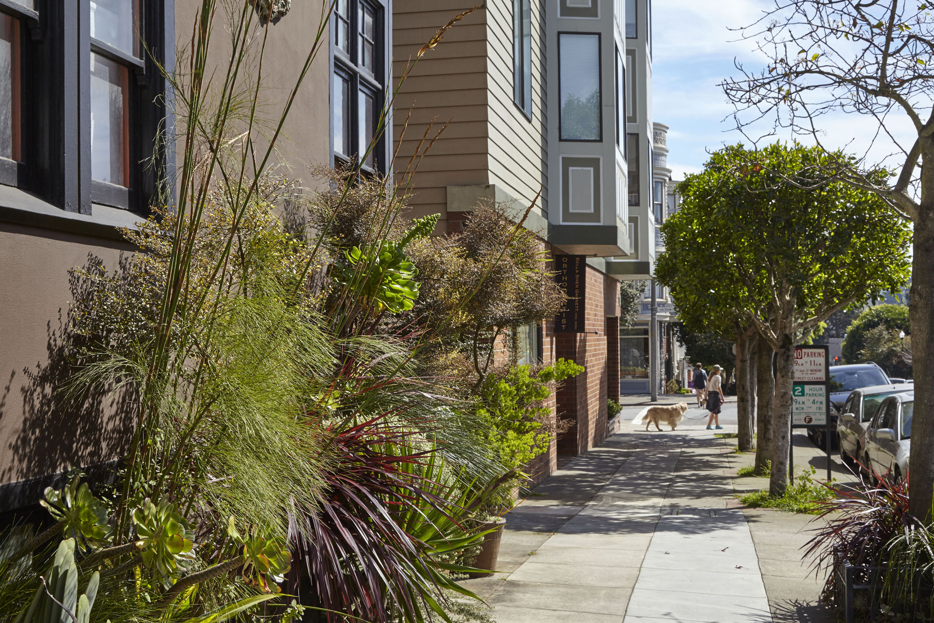
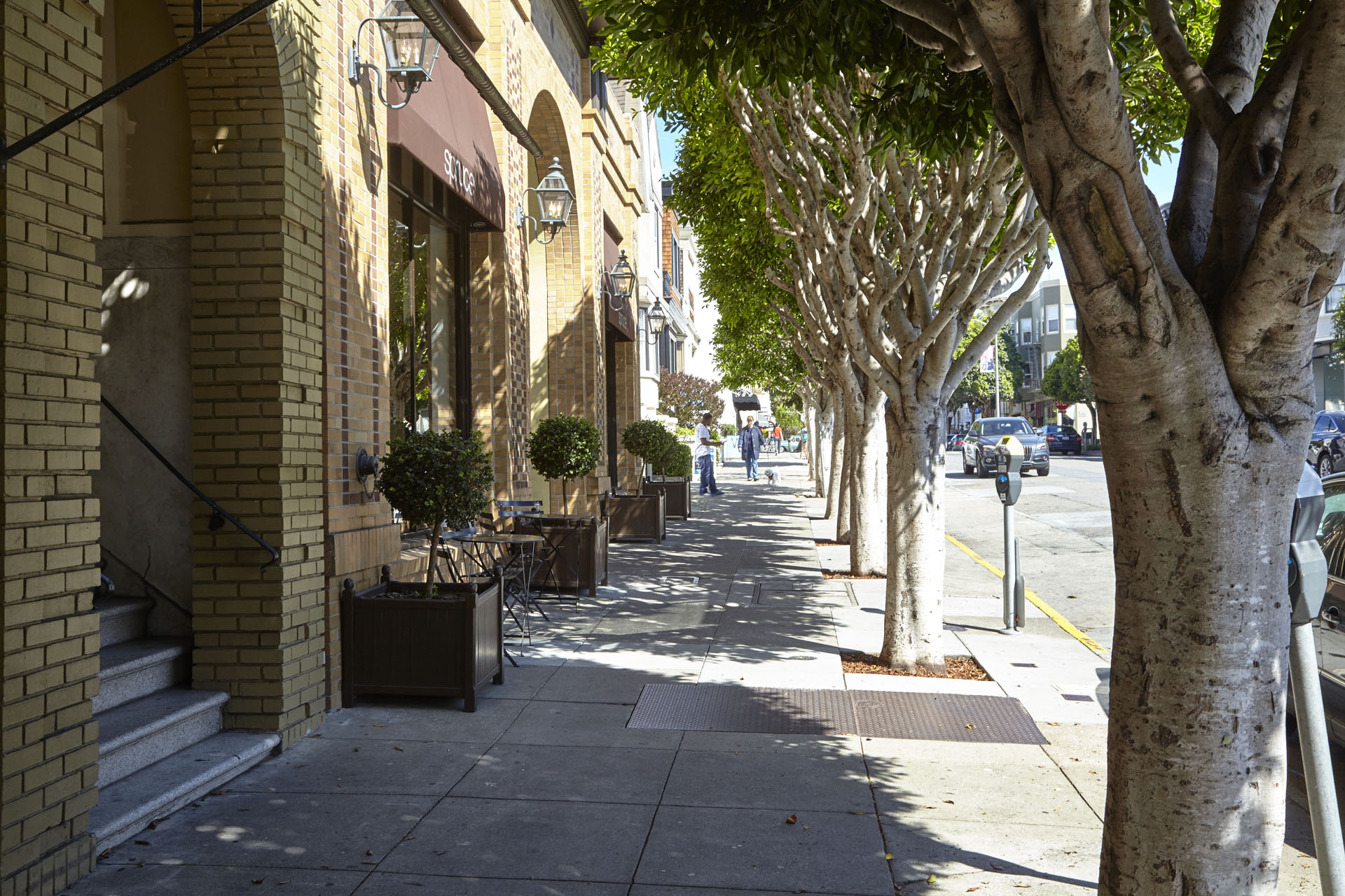
Stores, restaurants, and shopping are found on bustling Geary Boulevard, boutique- and café-lined Sacramento Street, and California Street’s Laurel Village Shopping Center (home to Cal-Mart, an Ace Hardware, and plenty of restaurants). Nightlife enthusiasts can get their fix at nearby Clement Street, which begins on the border of Laurel Heights and the Inner Richmond.
Available Apartments in Laurel Heights
Buildings in Laurel Heights
Laurel Heights Map
Laurel Heights sits south of the Presidio and east of the neighboring Inner Richmond. Its rough boundaries are California Street to the north, Geary Boulevard and University of San Francisco’s campus to the south, Presidio Avenue to the east, and Arguello Boulevard to the west. The 1-California Muni bus line runs through the neighborhood to the Financial District, while the 33 runs north-south from Sacramento down Arguello.
Walk Score
Explore Laurel Heights
Other Neighborhoods
San Francisco
- Alamo Square
- Bernal Heights
- Castro
- Chinatown
- Downtown
- Forest Hill
- Haight Ashbury
- Hayes Valley
- Ingelside
- Ingleside
- Inner Richmond
- Inner Sunset
- Laurel Heights
- Lower Haight
- Lower Nob Hill
- Lower Pacific Heights
- Marina
- Mission
- Mission Dolores
- Nob Hill
- Noe Valley
- NOPA
- North Beach
- Outer Richmond
- Outer Sunset
- Pacific Heights
- Potrero Hill
- Russian Hill
- SOMA
- Tenderloin
- Western Addition
- Westwood Park