Outer Sunset
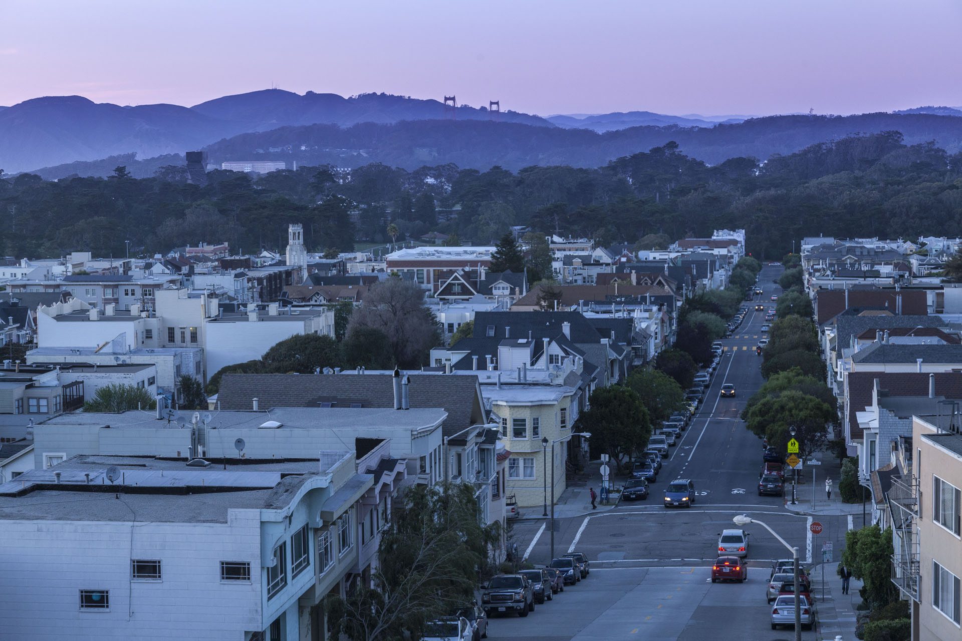
The Outer Sunset is San Francisco’s equivalent of a beach town. Combining with the Inner Sunset next door to form the City’s largest neighborhood, it retains a relaxed vibe beloved by surfers and outdoor enthusiasts alongside a host of city living amenities.
Irving Street, Noriega Street, and Judah Street are clustered with enough locally owned retail, dining, and drinking options to suit any taste. Neighborhood favorites like Andytown Coffee Roasters share street addresses with a multicultural array of dining options spanning Pakistan to Thailand to Mexico and beyond. Whether a dive bar like Silver Spur or an ultra-curated boutique like General Store, businesses tend to share the Outer Sunset’s characteristic laidback feel.
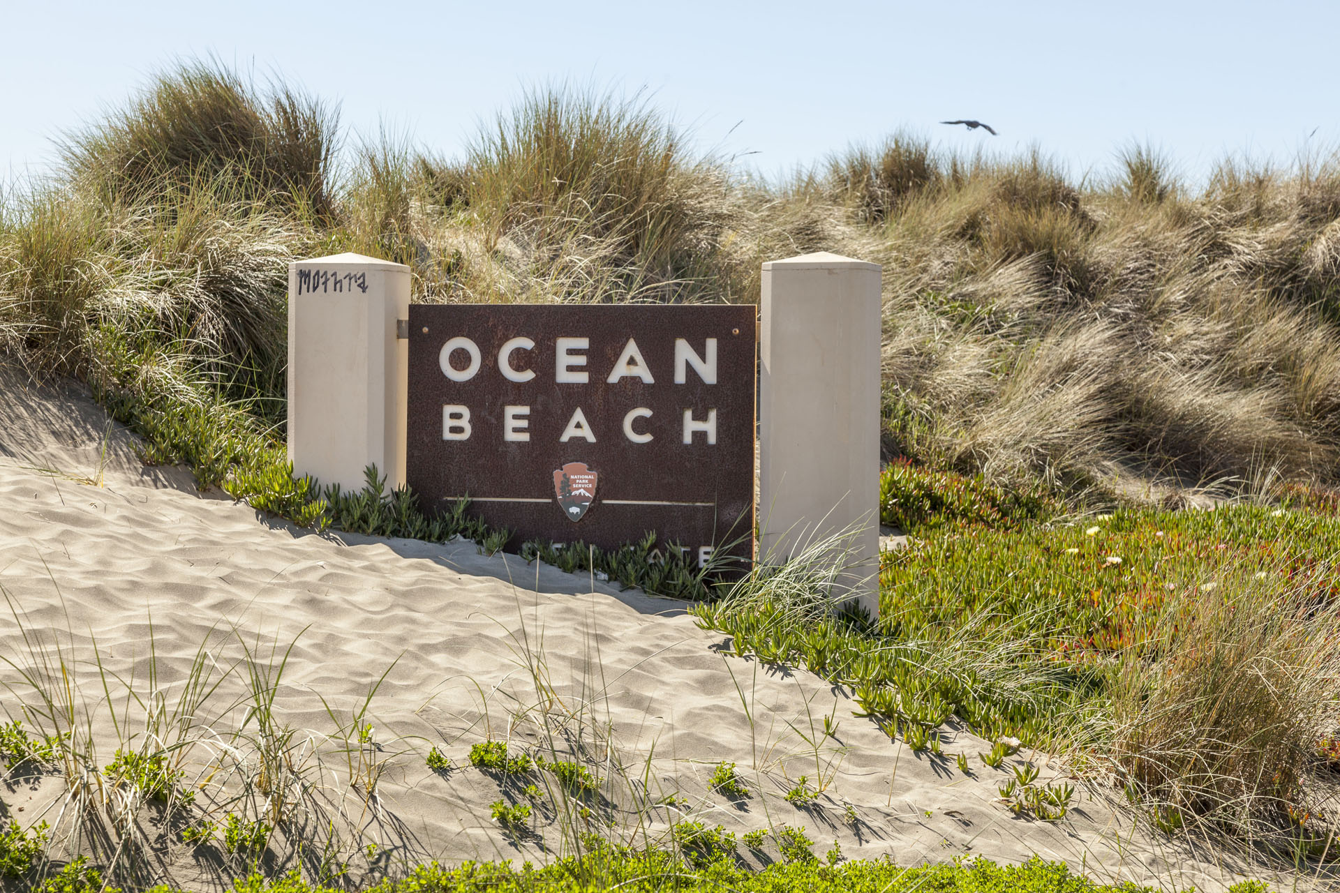
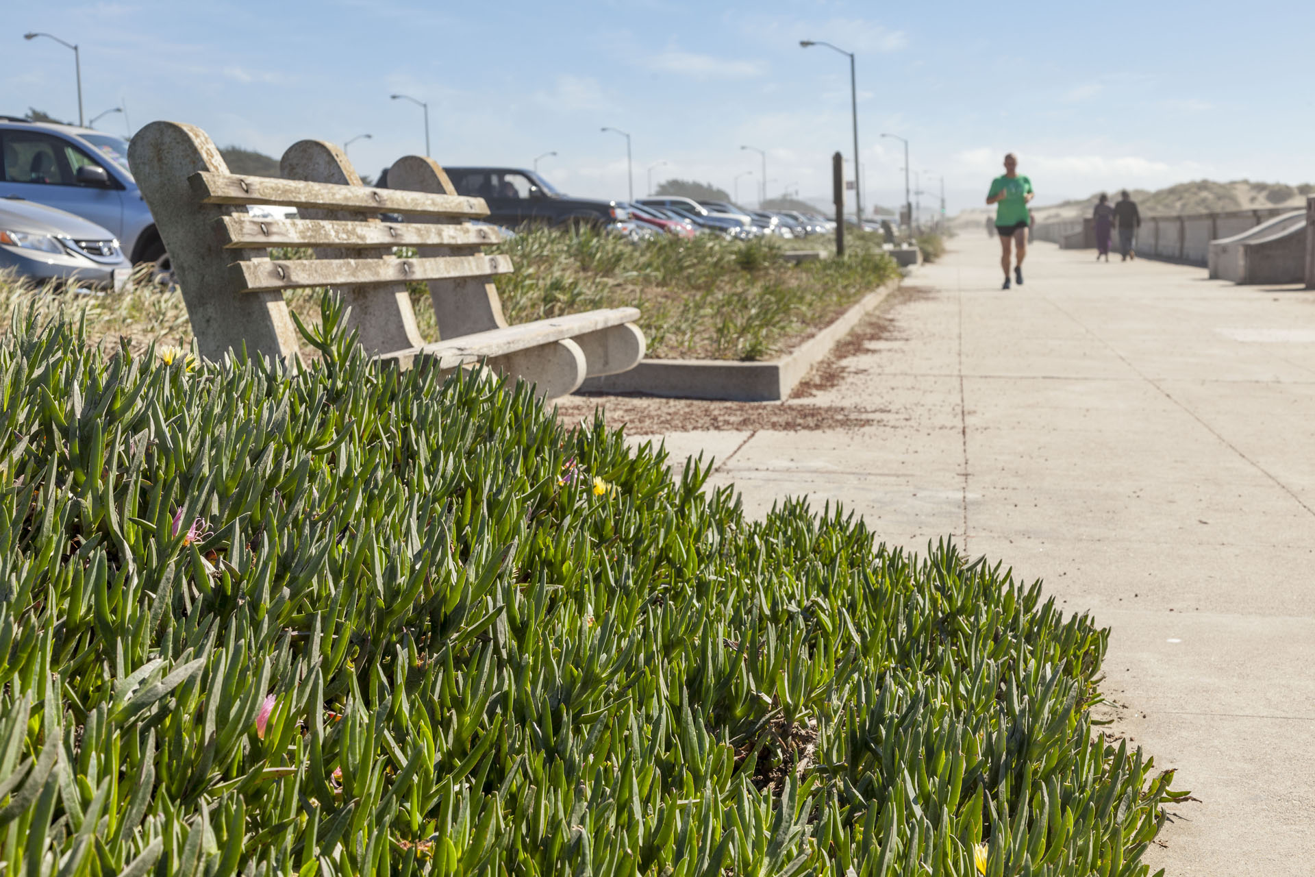
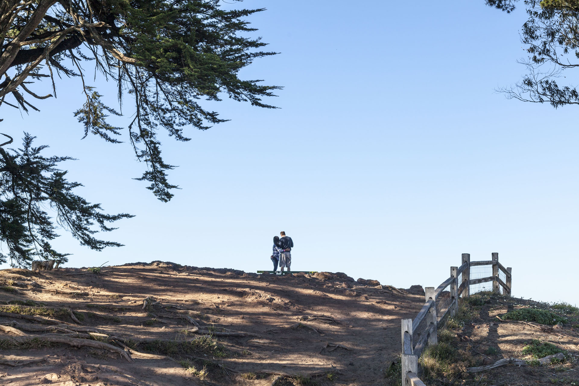
Once home to mountainous dunes, the Outer Sunset retains a slice of its sandy history at bonfire-friendly Ocean Beach. Sunset Recreation Center offers activities like basketball, tennis, and more, while Golden Gate Park and nearby Pine Lake Park – home to Stern Grove and its annual free summer concerts – are hubs of activity in lush green space.
Available Apartments in Outer Sunset
Buildings in Outer Sunset
Outer Sunset Map
The Outer Sunset is loosely bound by Lincoln Way to the north, Sloat Boulevard to the south, 19th Avenue to the east, and Ocean Beach to the west. Muni trains like the N Judah and L Taraval, plus multiple bus lines, are perfect for connecting to Downtown or other neighborhoods.
Explore Outer Sunset


Other Neighborhoods
San Francisco
- Alamo Square
- Bernal Heights
- Castro
- Chinatown
- Downtown
- Duboce Triangle
- Excelsior
- Haight Ashbury
- Hayes Valley
- Inner Richmond
- Inner Sunset
- Laurel Heights
- Lower Haight
- Lower Nob Hill
- Lower Pacific Heights
- Marina
- Mission
- Mission Dolores
- Nob Hill
- Noe Valley
- NOPA
- North Beach
- Outer Richmond
- Outer Sunset
- Pacific Heights
- Potrero Hill
- Russian Hill
- SOMA
- Tenderloin
- Western Addition
- Westwood Park
