Lower Haight
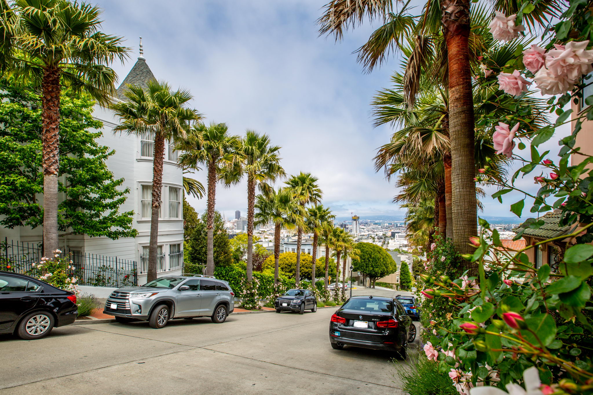
The Lower Haight sits just east of its larger, more famous neighbor, Haight-Ashbury. What it lacks in tie-dye, it makes up for with all the modern city living staples – plus plenty of beautiful Victorian homes, colorful street art, and a quieter, more residential feel.
No-frills but amenity-filled, the ultra-walkable Lower Haight sits near Market Street’s Safeway and Whole Foods Market, as well as Hayes Valley and Divisadero Street’s hot spots. Haight Street is the neighborhood’s commercial center, full of a diverse assortment of shops, eateries, cafes, record stores, and more. Bars range from legendary craft beer purveyor Toronado to the renowned cocktails and football or trivia at Nickie's, while an array of restaurants serves cuisine from around the world – the down-home Southern food at Kate’s Kitchen draws an especially loyal brunch crowd.
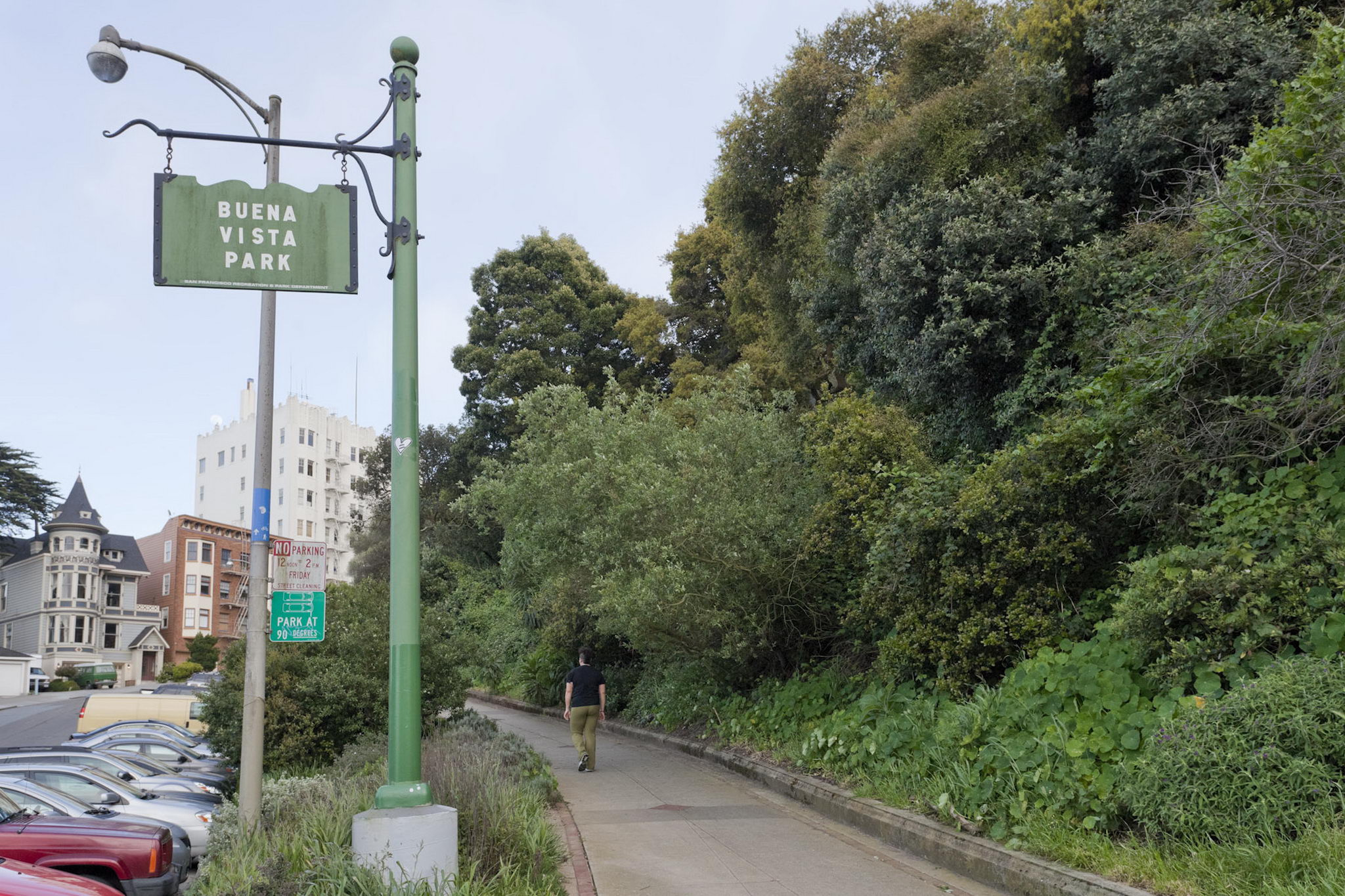
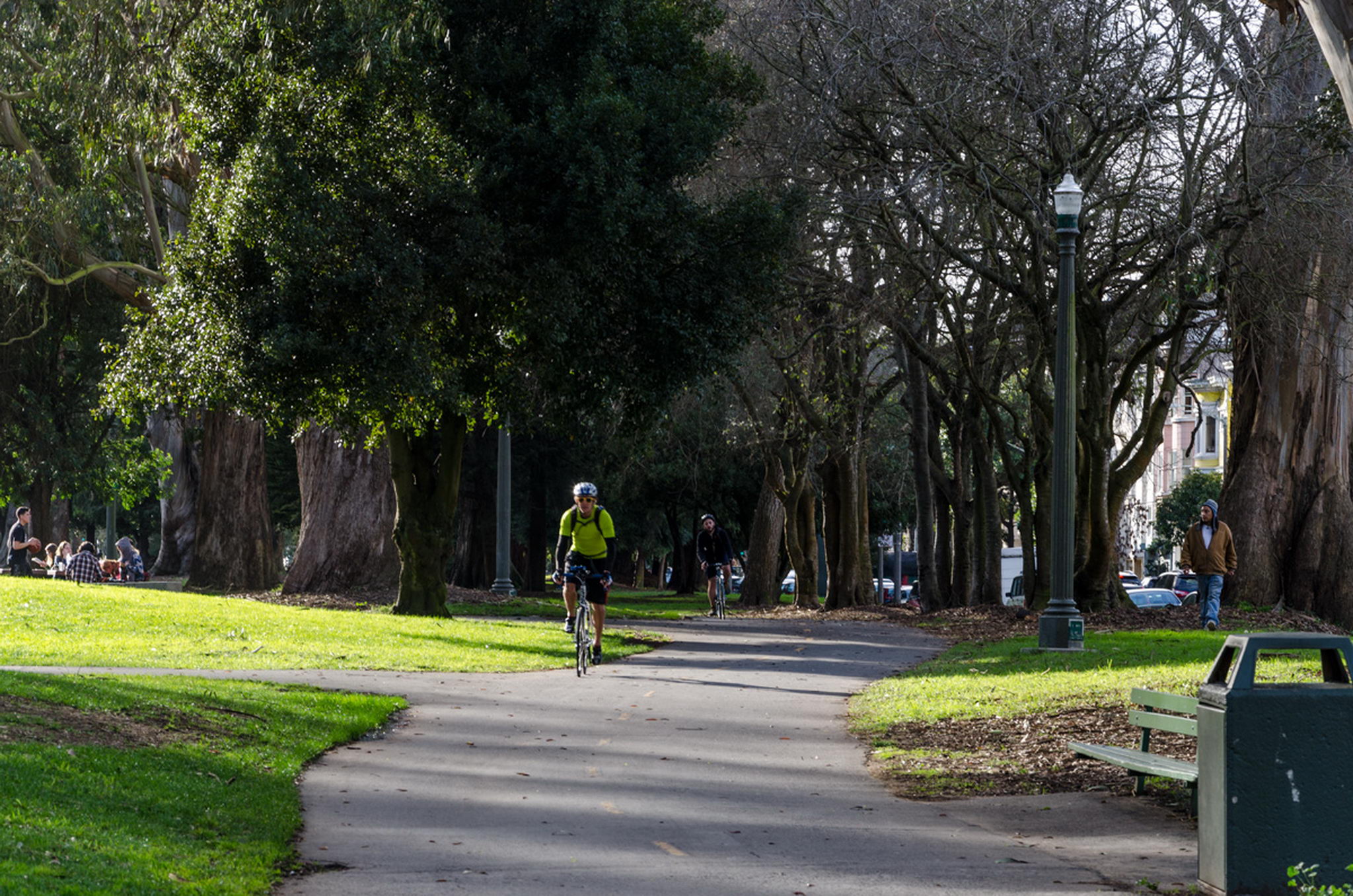
There is no shortage of green space in the Lower Haight for dog walkers, joggers, and picnickers. Buena Vista Park – home to some of the most beautiful views in San Francisco – is a neighborhood favorite. Duboce Park, Koshland Community Park, Alamo Square Park, and Panhandle are also nearby.
Available Apartments in Lower Haight
Buildings in Lower Haight
Lower Haight Map
The Lower Haight is located below Buena Vista Park, roughly bound by Oak Street to the north, Duboce Avenue to the south, Buchanan Street to the east, and Baker Street and Buena Vista Avenue to the west. The neighborhood has world-class public transportation and convenient options for bikers, including the Wiggle – a bike route from Market Street to Golden Gate Park designed to minimize hills for riders.
Walk Score
Explore Lower Haight
Other Neighborhoods
San Francisco
- Alamo Square
- Bernal Heights
- Castro
- Chinatown
- Downtown
- Duboce Triangle
- Excelsior
- Haight Ashbury
- Hayes Valley
- Inner Richmond
- Inner Sunset
- Laurel Heights
- Lower Haight
- Lower Nob Hill
- Lower Pacific Heights
- Marina
- Mission
- Mission Dolores
- Nob Hill
- Noe Valley
- NOPA
- North Beach
- Outer Richmond
- Outer Sunset
- Pacific Heights
- Potrero Hill
- Russian Hill
- SOMA
- Tenderloin
- Western Addition
- Westwood Park